Industry need
Organisations increasingly rely on accurate aerial information for inspection, planning, surveying, communication and asset decisions.
Professional application committee
Collaboration Opportunity
Advancing professional practice across surveying, inspection, media and spatial data capture.
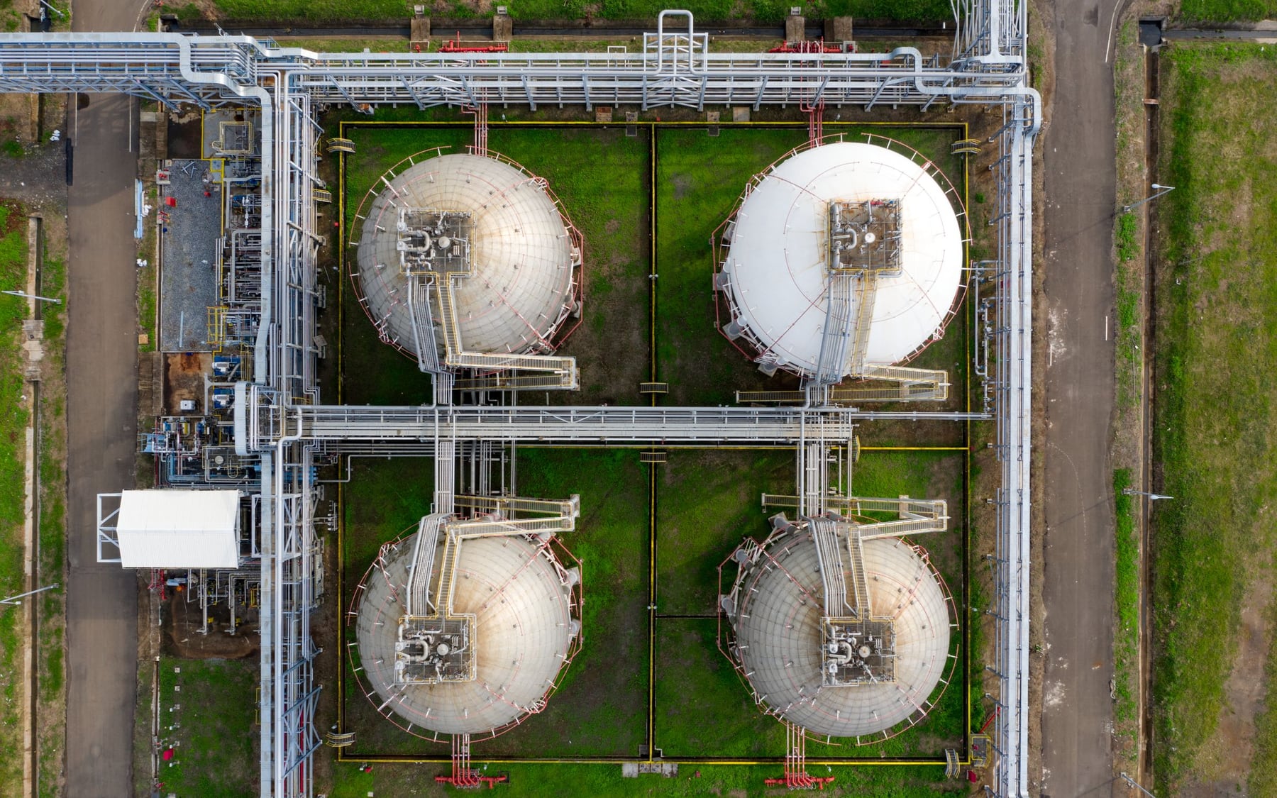
Organisations increasingly rely on accurate aerial information for inspection, planning, surveying, communication and asset decisions.
Australian infrastructure, regional distances and varied landscapes create demand for reliable data capture supported by professional quality and privacy practice.
Flight planning should address site hazards, people, structures, weather, visual line of sight and the accuracy required for the intended use.
Operators must consider aviation rules together with privacy, surveillance, intellectual-property, land-access and professional-practice obligations.
International standards and workflows can help inform quality assurance, while Australian privacy, land and professional requirements remain decisive.
The committee connects professionals working with aerial data to discuss quality, privacy, ethics and reliable workflows.
No SITA project, pilot or case study is currently approved for public presentation. This page describes the committee's intended scope for professional discussion.
Surveying, inspection, geospatial, media, privacy and remote-piloting professionals.
Tell us about your relevant professional experience and the area in which you wish to contribute.